❮
❯
❯
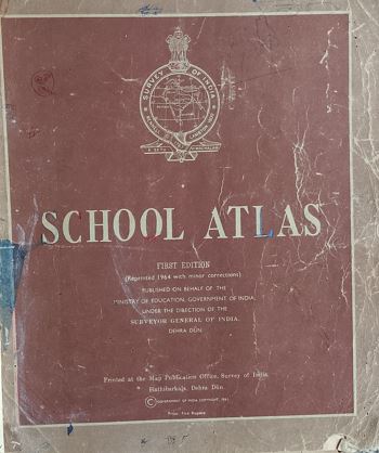
School Atlas
Book Details
Language
English
Condition
GOOD
Binding
Hardcover
Book Edition
FIRST
Country
India
Year
1964
Publisher
ministry Of Eduction Govt Of India
Product Description
School Atlas is an educational reference book designed to help students understand geography in a simple and visual way. It contains a collection of maps, charts, diagrams, and illustrations that explain countries, continents, oceans, climates, natural resources, and physical features of the Earth.
The atlas is structured to support school-level learning, making it easier for students to locate places, study political boundaries, and understand geographical relationships between regions. It often includes thematic maps such as population distribution, vegetation, rainfall, and transportation networks.